
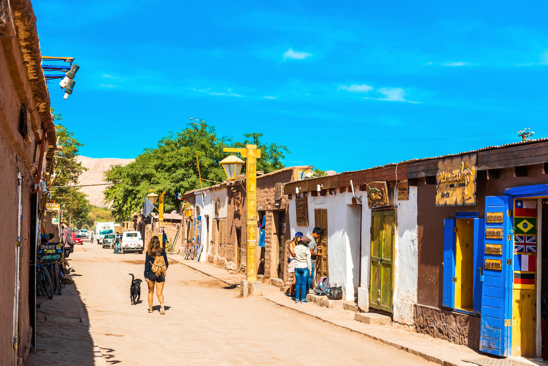
San Pedro de Atacama is perhaps the most famous destination of the Chilean North internationally.
And of course, being the "oasis" of the Atacameños for more than 11,000 years in the middle of the Atacama Desert. Yes, more than twice as old (years) as many of the oldest cities in the world, such as Byblos in Lebanon, Argos and Athens in Greece, Damascus in Syria, Jerusalem, Varanasi (India) or Beijing.
And of course, being the "oasis" of the Atacameños for more than 11,000 years in the middle of the Atacama Desert. Yes, more than twice as old (years) as many of the oldest cities in the world, such as Byblos in Lebanon, Argos and Athens in Greece, Damascus in Syria, Jerusalem, Varanasi (India) or Beijing.
|
|
This town extended through the altiplano and the Atacama desert, establishing itself especially in oases like San Pedro.
In this territory they developed agriculture, cultivating the system of terraces on the slopes of the mountains, fertilizing the earth with llama guano.
In this territory they developed agriculture, cultivating the system of terraces on the slopes of the mountains, fertilizing the earth with llama guano.
Touristic places
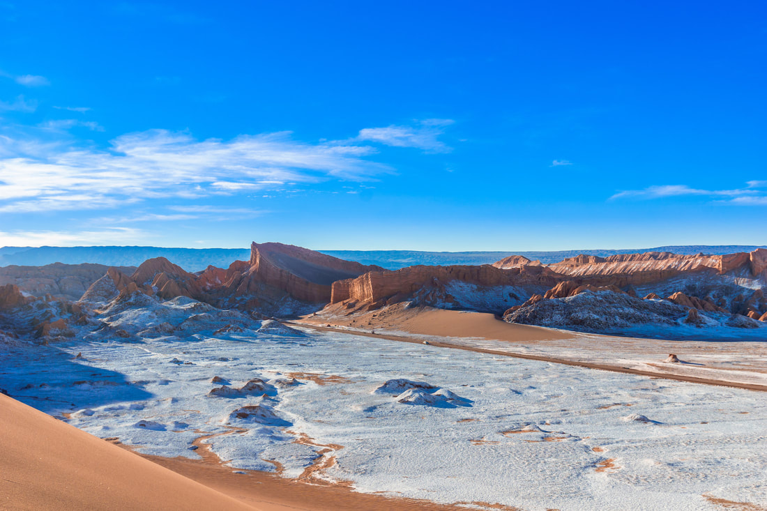
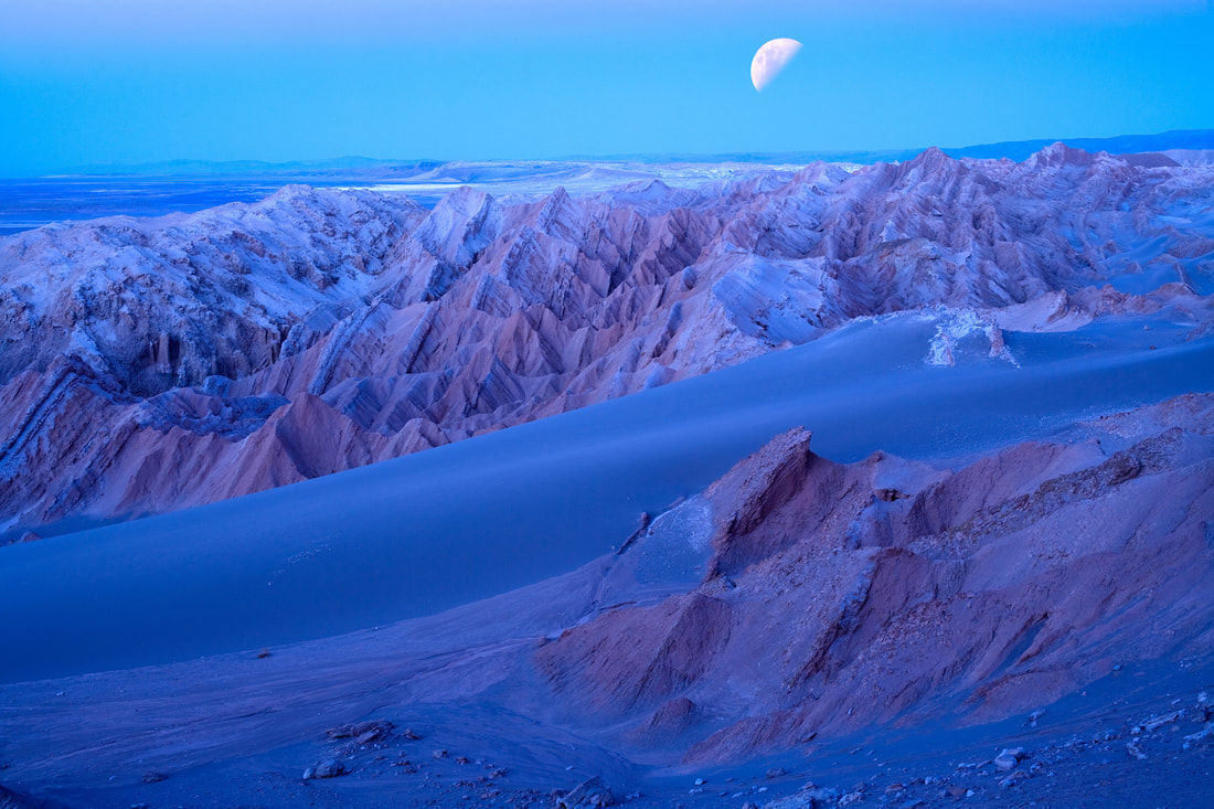
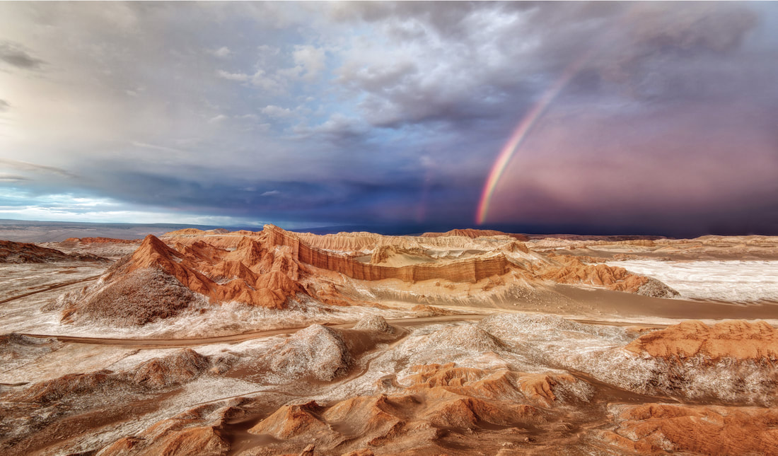
The Moon Valley.
|
|
|
The Moon Valley (Valle de la Luna) is located 13 kilometres (8 mi) east of San Pedro de Atacama.
It has various stone and sand formations which have been carved by wind and water. It has an impressive range of color and texture, looking somewhat similar to the surface of the moon. There are also dry lakes where the composition of salt makes a white covering layer of the area. It presents diverse saline outcrops which appear like man-made sculptures. There are also a great variety of caverns. When the sun sinks, it is painting pie tones the edges of hills and defiles, while the wind blows among the rocks and the sky passes from pink color to purple and finally black. Valle de la Luna is a part of the Reserva Nacional los Flamencos and was declared a Nature Sanctuary in 1982 for its natural environment and strange lunar landscape, from which its name is derived.
The Atacama desert is also considered one of the driest places on earth, as some areas have not received a single drop of rain in hundreds of years. A prototype for a Mars rover was tested there by scientists because of the valley's dry and forbidding terrains.
The Death Valley.
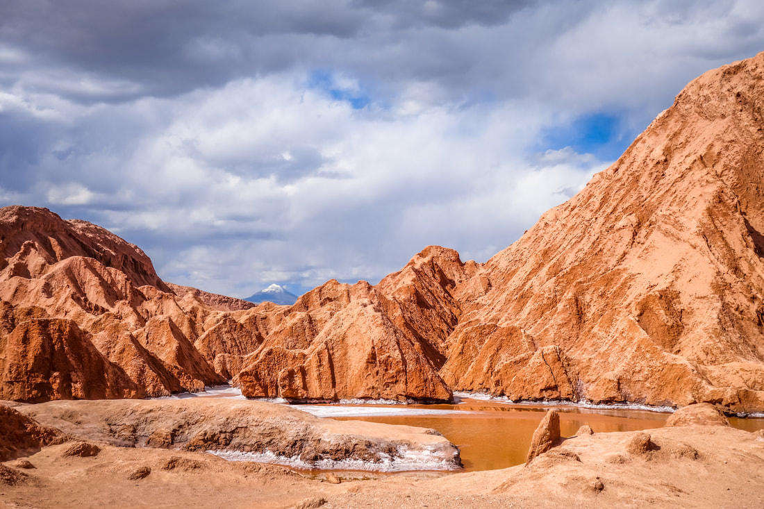
Also known as the "Mars Valley", is along with the Moon Valley a desertic valley located in the Salt Mountain Range in the Atacama Desert.
|
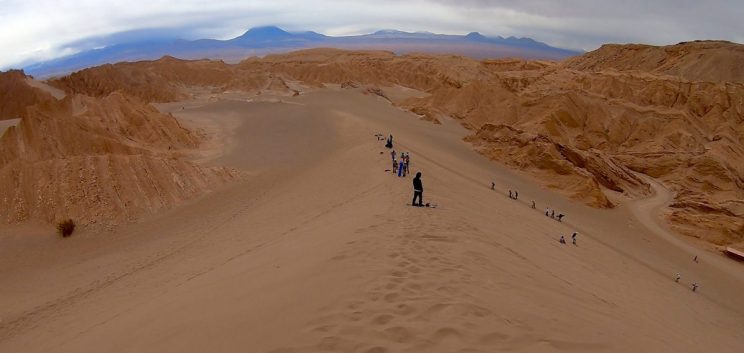
13 km West from San Pedro de Atacama, the Death Valley offers 2 main activities for travellers,
Trekking along its Dunes and Salt Mountains or Sandboarding. |
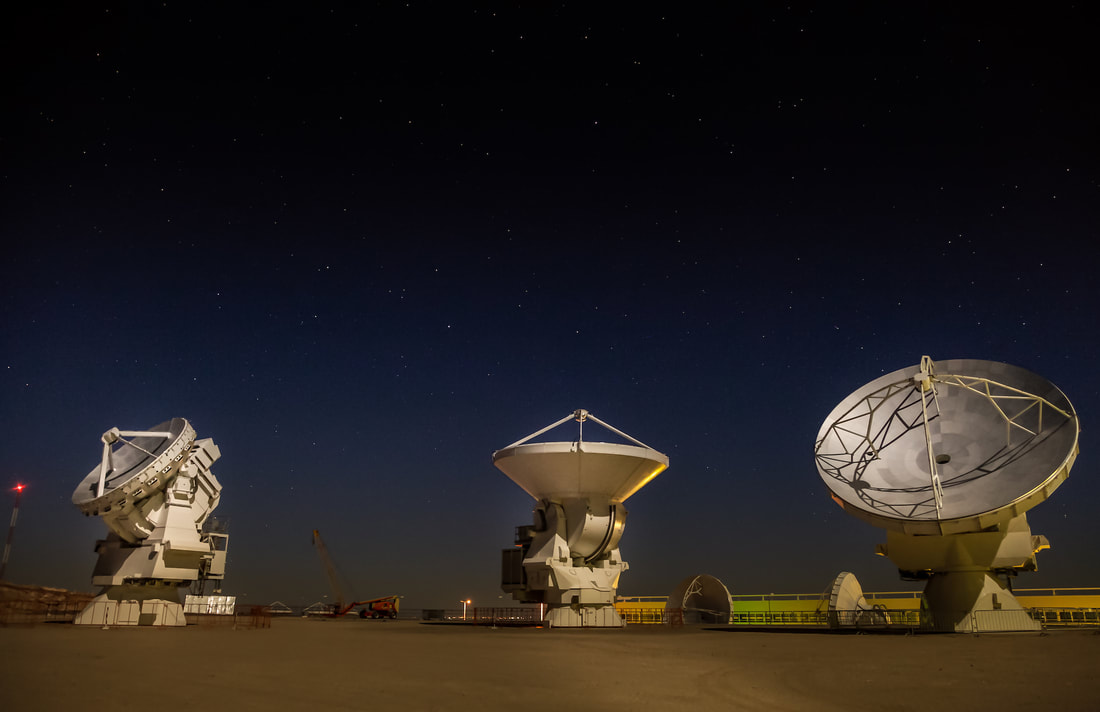
ALMA Observatory.
The ALMA Observatory (Atacama Large Millimeter Array) It is the largest observatory in the World.
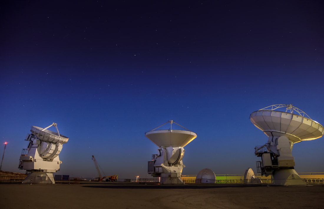
It is part of an international association of astronomy (USA, Europe, Canada, Japan, Korea and Taiwan), being the most expensive project ever built in history, with an investment of more than $1,000 million euros. It was inaugurated in March 2013 and the results have been exceeding all expectations from the beginning. All the data and image information obtained it is opening a new stage in world astronomy.
|
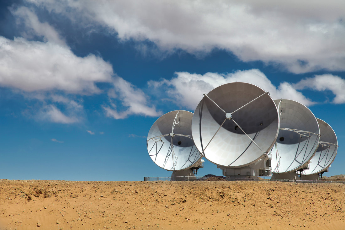
The world-renowned infrastructure is highly demanded. It is the largest astronomical project that exists, consisting of a telescope composed of 66 high-precision antennas located in the plain of Chajnantor, 5000 meters above sea level in northern Chile.
Located 50 kilometers from San Pedro de Atacama, the Observatory conducts free tours every Saturday and Sunday in the mornings. The tour takes place between 8:30am - 1pm. (Children under 4 years old are not allowed). |
Only people previously registered can visit the ALMA Operations Support Site (OSF), where ALMA staff works and where visitors can see the control room, laboratories and generally antennas in maintenance and an antenna carrier.
Important: For safety reasons, operations on the Chajnantor Plateau (the Array Operations Site, or AOS, where the antennas are located) are not open to visitors, due to the location at 5,000 meters above sea level. |
To register you must go to almaobservatory.org and look for the section "extension" and "visits", choose a date and register. If there are no places, you can sign up on the waiting list.
https://www.almaobservatory.org/en/outreach/alma-observatory-public-visits/ |
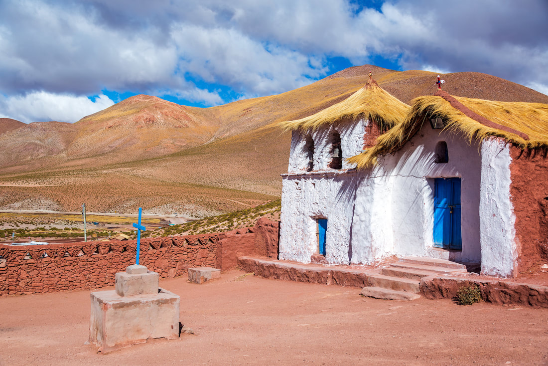
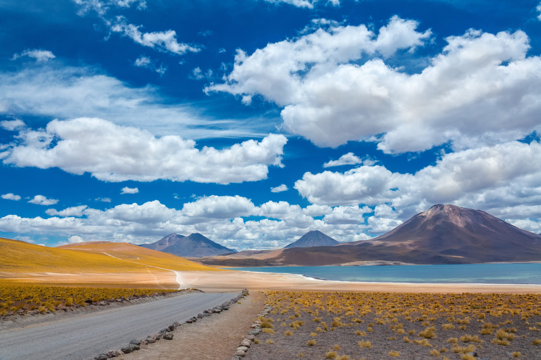
Flamencos National Reserve.
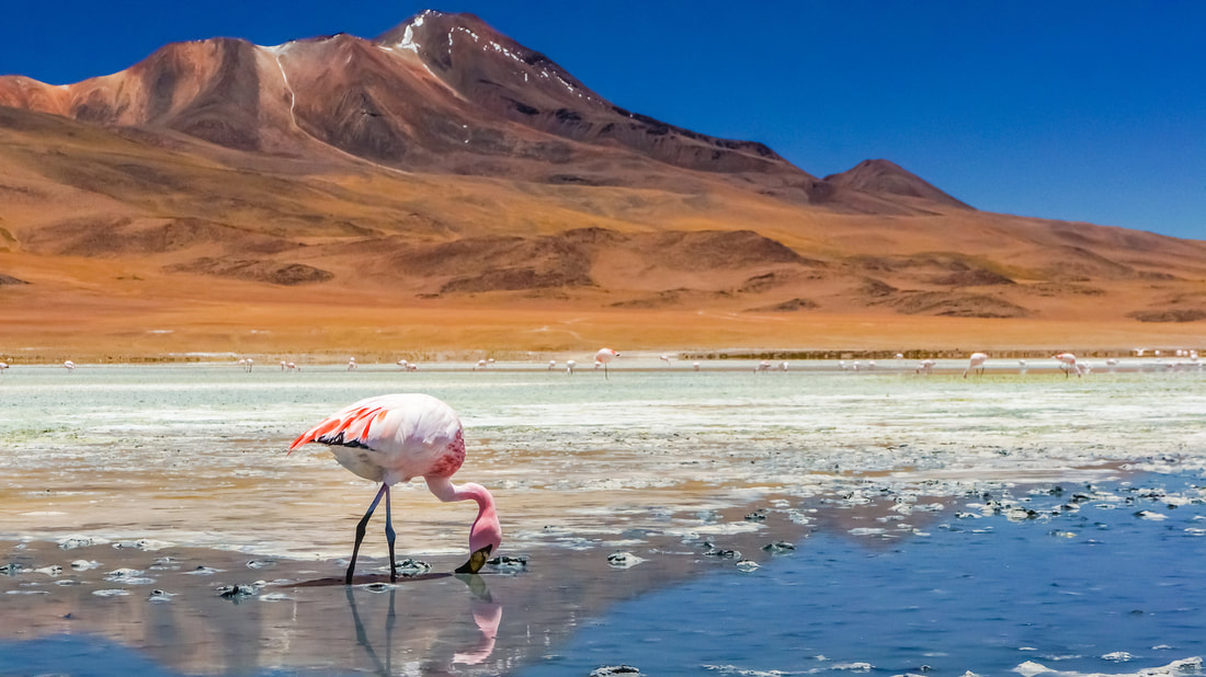
It's a nature reserve located in the commune of San Pedro de Atacama, Antofagasta Region of northern Chile. The reserve covers a total area of 740 square kilometres (180,000 acres) or 73,986 hectares in the Central Andean dry puna ecoregion and consists of 7 sections:
Salar de Tara - Salar de Aguas Calientes. Salar de Pujsa Miscanti and Miñiques Lagoons. Soncor Section. Tambillo. Quelana Section. The Moon Valley. |
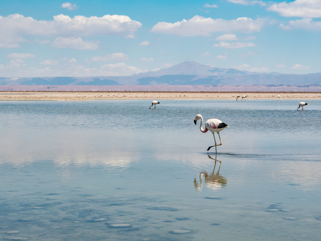
The main animals that inhabit the reserve are: The Andean goose, horned coot, Andean gull, Puna tinamou, Andean flamingo, Chilean flamingo, and James's flamingo, the viscacha, the tawny tuco-tuco, the Andean fox, vicuna, greenish yellow finch, and Darwin's leaf-eared mouse.
|
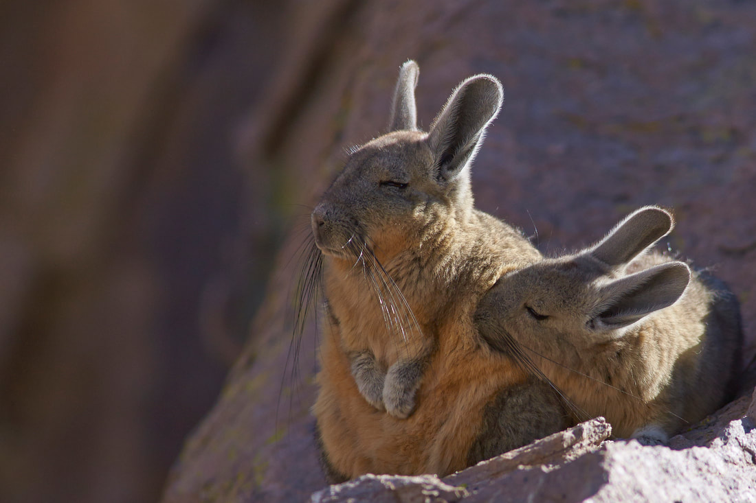
The vizcachas can be found among the rocks enjoying the sun and good company.
|
Laguna Lejía is a salt lake located in the Altiplano, 62 miles from San Pedro de Atacama.
The landscape of the area is dominated by the volcanoes Chiliques, Lascar, Aguas Calientes and Acamarachi. It is shallow and has no outlet, covering a surface area of about 1.9 square kilometres (0.73 sq mi) in the present-day. |
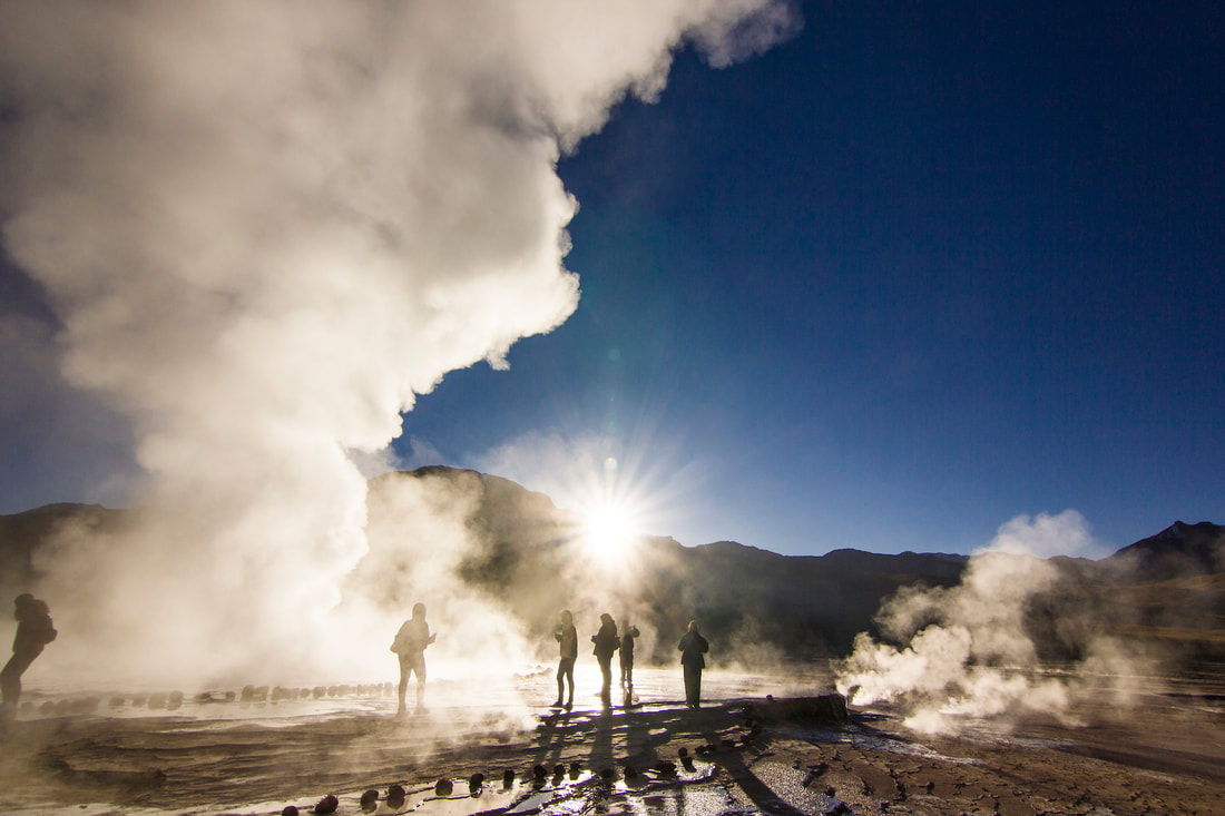
El Tatio geysers.
No Pain, No Gain. It’s the largest geyser field in the Southern Hemisphere. This natural attraction lies within El Tatio geothermic basin 90 kilometres north of San Pedro de Atacama. It is 4320 meters above sea level which is a consideration with anyone who suffers high blood pressure.
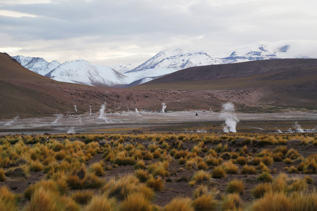
The valley is home to approximately 80 geysers at present. The salient feature of these geysers is that the height of their eruptions is very low, the tallest being only 20ft high, but with steam columns that can be over 66ft high. The average geyser eruption height at El Tatio is about 30in.
|
The valley is home to approximately 80 geysers at present. The salient feature of these geysers is that the height of their eruptions is very low, the tallest being only 20ft high, but with steam columns that can be over 66ft high. The average geyser eruption height at El Tatio is about 30in.
|
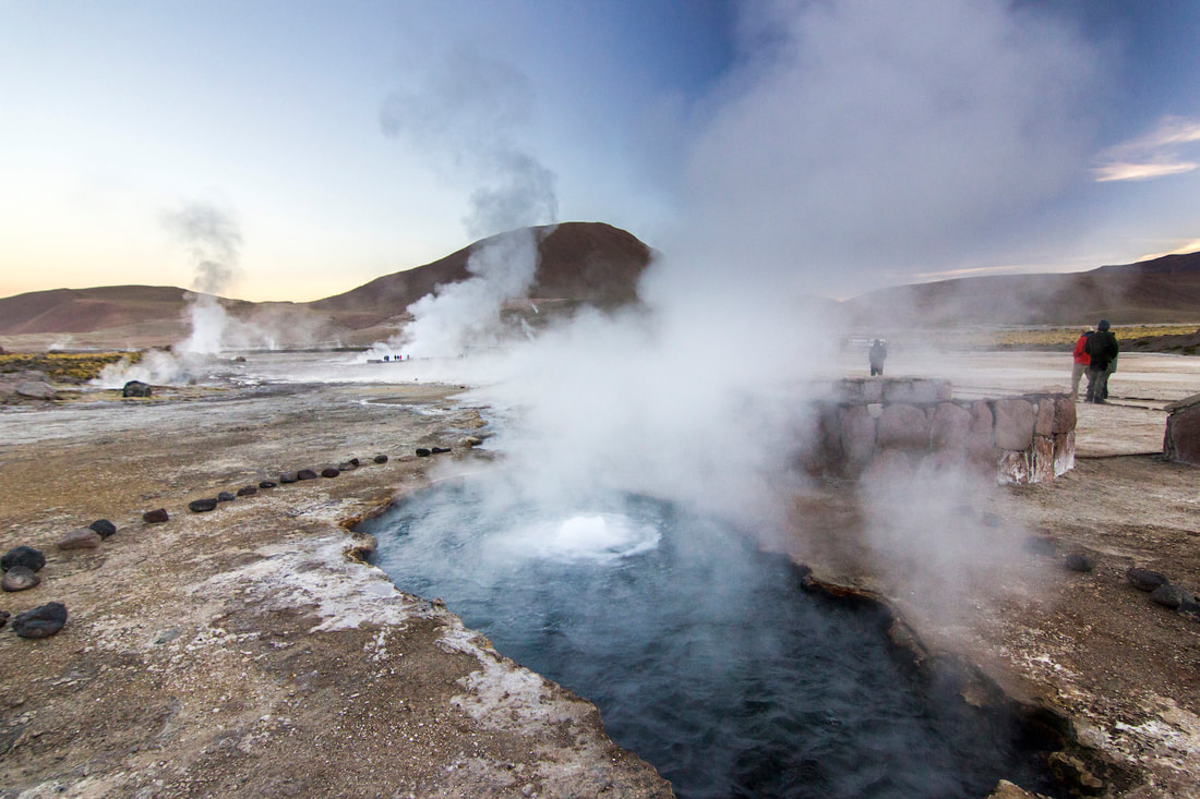
Also, the geothermal field, a large natural hot spring. It is possible to bathe in the hot geyser water in a small pool to go from 0°C to 35°C, unmissable.
|
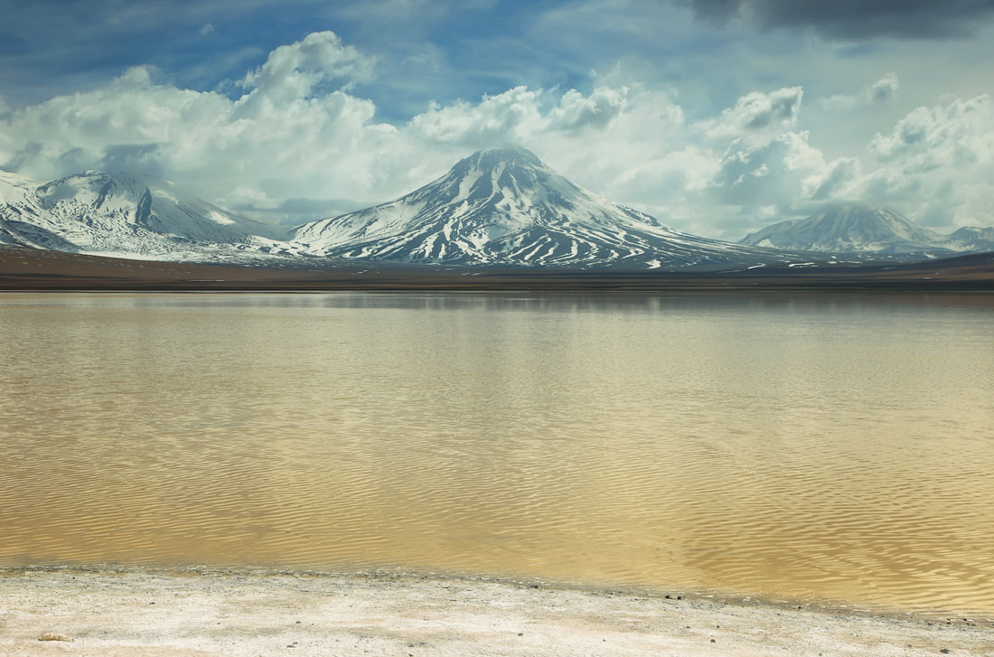
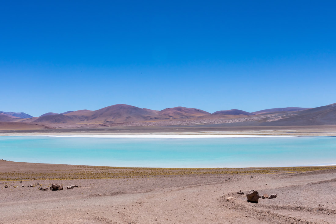
Miscanti and Miñiques altiplanic lagoons
These two lagoons are located in the altiplano at 115km from San Pedro de Atacama and 18km from Socaire,
within the Los Flamencos National Reserve, at an altitude of 4120 meters above sea level.
within the Los Flamencos National Reserve, at an altitude of 4120 meters above sea level.
Miscanti Lagoon
It is attributed the creation of these lagoons to the Miñiques volcano with a height of 5,910 meters above sea level, with three craters, its vestiges of domes and lava flows still present. This volcano and the Miscanti hill are a fundamental part of the landscape as good representatives of the Andes Mountain Range. |
Miñiques Lagoon
At the bottom of the lagoons there are filamentous algae of the genera Ruppia and Potamogetom, from which some birds feed. Thanks to its natural riches and secluded location is a perfect place to enjoy the local wildlife. |
Hotels
|
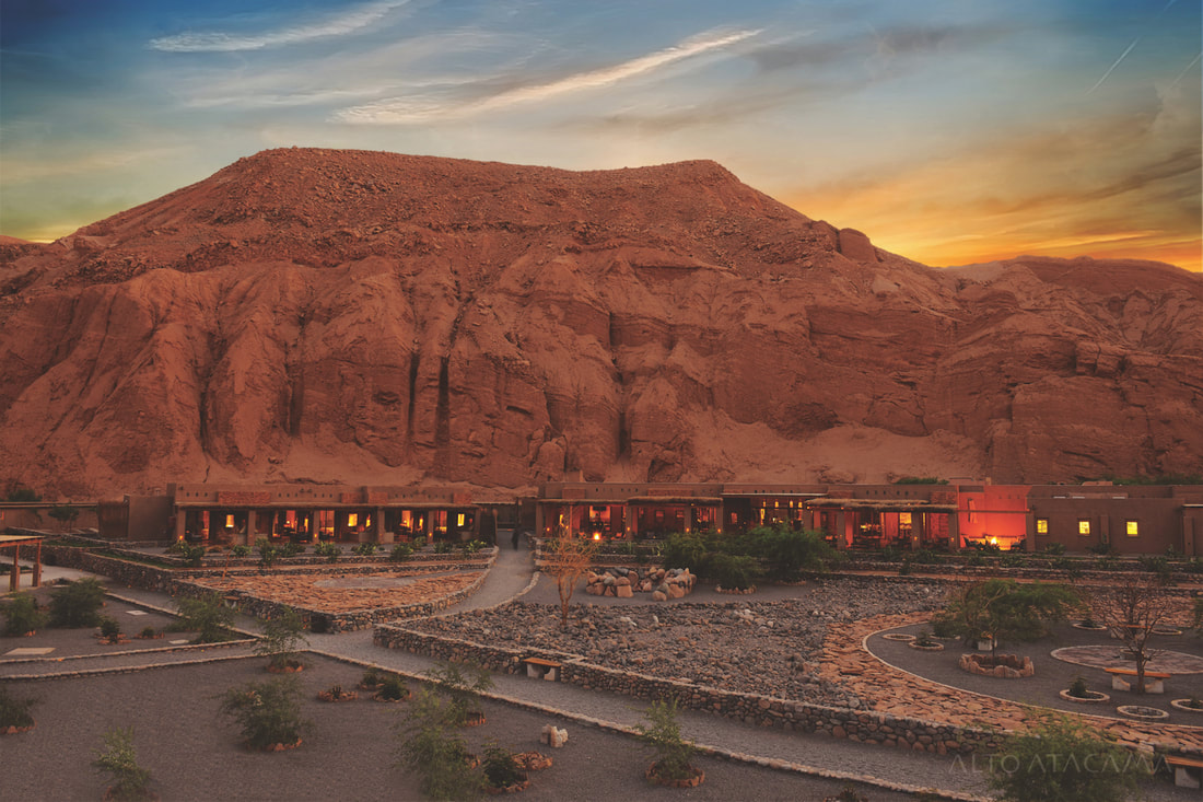
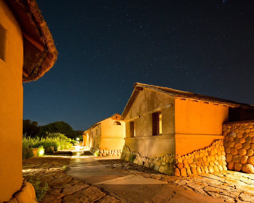
Alto Atacama Hotel.
|
Altiplanico Hotel.
|
TRAVEL PACKAGES
|
12 days Santiago -
San Pedro de Atacama 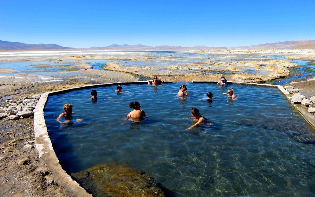
|
Custom Trip
|